The history of bike lanes in Sofia
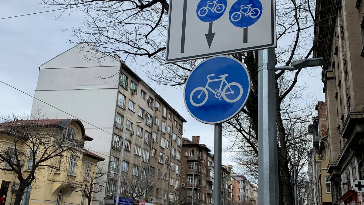
Sofia's bike lanes have a relatively short history. Unlike cities such as Amsterdam or Copenhagen, where the networks have been built over decades, Sofia only started building its cycling infrastructure in recent years - and is still doing so.
The first marked lanes
For a long time cycling in Sofia meant sharing the roadway with cars or riding on the pavement. The first dedicated bike lanes appeared along a few boulevards and in some parks, often as a painted strip over the existing road. These were separate sections more than a connected network.
A network built in stages
Over time the sections multiplied - new lanes along boulevards, links by the rivers and through parks. But because they were built in stages and by different projects, many of them don't connect to one another. A typical picture is a bike lane that runs well and then ends abruptly at a junction, leaving you to continue on the roadway.
Sofia Municipality publishes open data on the cycling network. The planned network was already set out in the 2009 General Urban Development Plan, and the built lanes are updated in separate datasets (for example from 2018, 2021 and 2026). This data shows which sections exist and what they are, but it doesn't contain the exact construction year of each individual lane - which is why we talk here in stages, not specific dates.
The problems that remain
- Breaks. The lanes often don't form a continuous route from end to end.
- Parked cars. Cars on the bike lane remain a common and dangerous obstacle.
- Surface quality. In places the lane runs over cobbles or uneven surface.
- Crossings. The riskiest points are usually where the lane crosses a busy street.
What's next
Sofia's urban-mobility plans envisage expanding and better connecting the cycling network. The direction is clear - from separate lanes to a connected network - but the pace and quality remain a subject of debate between the municipality and the cycling community.
How Cycly helps today
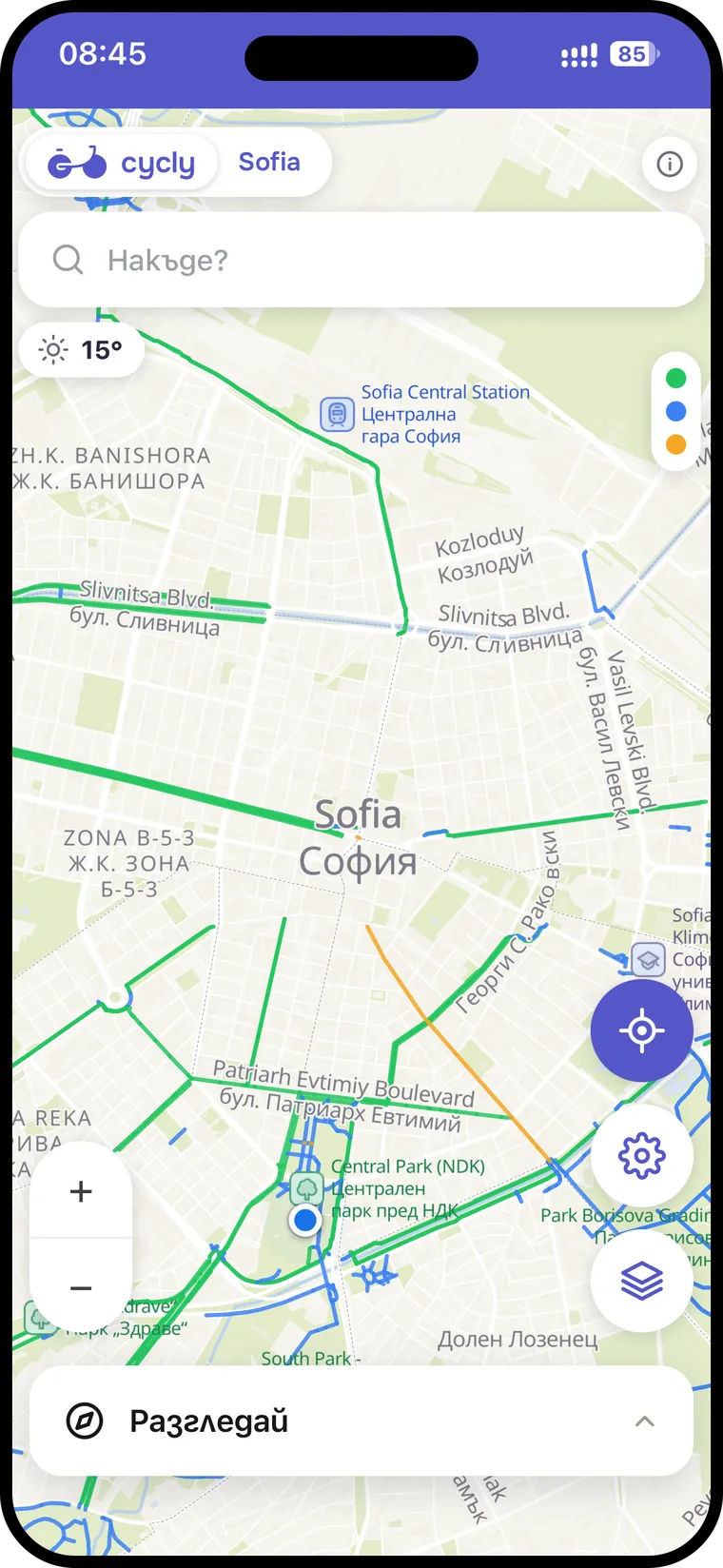
While the network develops, it matters to know what's actually on the ground - not what's planned. Cycly shows the bike lanes as they are today, and when planning a route it prefers to lead you along them, routing around the breaks and risky crossings.
Why it matters today
The history explains the present: the fragmented network isn't an accident but the result of building in stages. It means that, until the network joins up, the most useful app is the one that knows the real sections and how to connect them - not the one that only shows the plan. That's the difference between a map and a navigator.
Explore the bike lanes in Cycly →
Source for the cycling network: Sofia Municipality / Sofiaplan - open data.